In the past 18 months, our teams have documented multiple drone incursions over Manalapan estates. Some were obvious surveillance attempts. Others were ambiguous — possibly hobbyist activity, possibly real estate documentation by unaffiliated parties, possibly something else.
The pattern matters more than any individual incident. Drones over Manalapan estates are no longer rare events. They are a recurring feature of the local threat landscape.
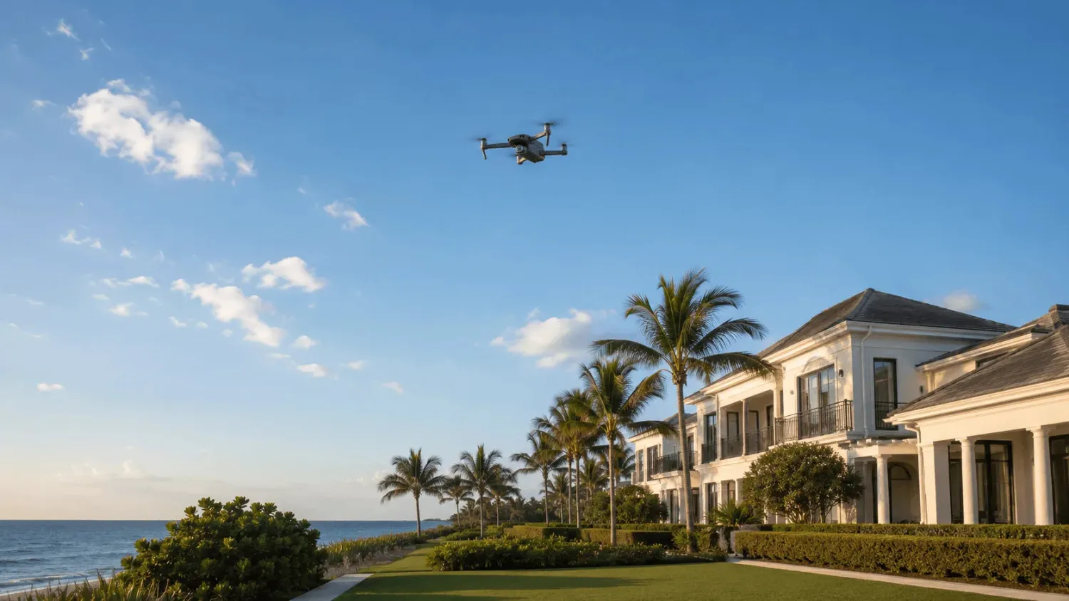
Why Manalapan specifically
The drone problem in Manalapan is structural rather than incidental. Three factors make Manalapan estates particularly attractive targets for aerial documentation.
International media coverage. When a property has been featured in Forbes, the Wall Street Journal, or Bloomberg with aerial photography, the precedent is set. Aerial documentation of the property is in the public domain. Additional aerial documentation — by anyone with a drone — is hard to distinguish from the legitimate journalism that already exists.
Public launch points across the water. The Intracoastal Waterway puts public boat ramps, parks, and waterfront areas across the channel from every Manalapan estate. A drone launched from these public locations can reach a Manalapan property in 60-90 seconds, document it, and return — without ever crossing private property in the air. The legal grey area around airspace ownership makes prosecution difficult.
Trophy property identification. Manalapan’s small footprint means trophy estates are easy to locate. Larry Ellison’s 16-acre property is identifiable from any wide-angle aerial. The $285M Satter spec home is publicly known. Tiger Woods’s residence is documented. Once a drone operator knows which property to target, the navigation is trivial.
These three factors compound. The estates are famous, the launch points are convenient, and the targets are easy to find.
What drone surveillance actually accomplishes
For most Manalapan principals, the question isn’t “could a drone film our property” — it obviously could. The question is “what does that footage actually enable?”
The answer depends on the operator. Different drone surveillance operators have different objectives.
Real estate market intelligence. Some drone activity is conducted by real estate professionals, journalists, or market analysts documenting property values, construction progress, or comparative sales data. This is generally benign and legal.
Hobbyist photography. Some drone activity is genuinely casual — recreational pilots flying drones for fun and capturing footage of impressive properties as they would film any visually interesting subject.
Pre-incident reconnaissance. Some drone activity is targeted reconnaissance preceding a planned incident. Documentation of property layout, security systems, daily routines, vehicle patterns, and access points. This is the category that matters for security planning. It’s also the category that’s hardest to distinguish from the first two.
Hostile documentation. Some drone activity is conducted by parties with adversarial relationships to the principal — former employees, litigation opponents, commercial competitors, paparazzi, or hostile media. Documentation that will be used in legal proceedings, sold to media outlets, or weaponized in some other way.
A drone overflying a Manalapan estate could be any of these. The estate security posture cannot afford to assume the benign interpretation.
What counter-drone operations actually involve
Counter-drone operations for residential estates do not involve shooting drones out of the sky. (That’s illegal and creates greater risk than the drone itself.) They involve detection, documentation, and legal response.
Detection systems. Modern drone detection technology uses RF (radio frequency) monitoring to identify drone-controller communications, plus radar and acoustic sensors for confirmation. Quality detection systems can identify drone make and model, operator location, flight path, altitude, and duration. The systems are commercially available, increasingly affordable, and entirely legal for residential deployment.
Documentation protocols. When a drone is detected, the response is documentation: timestamp, drone identification, flight path, altitude, duration, and any imagery captured by estate cameras showing the drone in flight or its operator on the ground or water. This documentation forms the basis for any subsequent legal action.
FAA reporting. The FAA maintains processes for reporting drone incidents. Documentation sufficient for FAA reporting includes the drone’s registration ID (often broadcast in the RF signal), flight path overlays showing airspace violations, and any safety incidents. The FAA’s authority to investigate and prosecute drone operators is meaningful when the documentation is clean.
Legal response coordination. Some drone activity is illegal under state law (privacy violations, surveillance of private property) regardless of FAA airspace status. Documentation supports civil action, criminal complaints, or both. Coordination with local law enforcement, the FAA, and the principal’s legal counsel makes the response credible.
Integration with estate security. Drone detection is not a standalone system. When a drone is detected over the property, the broader estate security posture should adjust. Camera systems track the drone visually, additional cameras orient toward likely launch points (boat ramps, public parks, adjacent waterways), and personnel awareness increases. The drone may be reconnaissance preceding ground-side activity. The protocols treat it that way.
What most Manalapan estates currently have
In our assessments of Manalapan estates over the past 18 months, the percentage with active drone detection systems is low. Most rely on visual detection — meaning someone in the household sees a drone and reacts. This is not a security capability. It’s a coincidence-dependent observation.
A small percentage of estates have basic RF detection that alerts on drone presence but provides no documentation, no flight path tracking, and no legal-quality data.
A handful — typically estates owned by principals with prior security incidents or formal threat profiles — have complete counter-drone postures with detection, documentation, and integrated response.
The majority of Manalapan estates are functionally undefended against drone surveillance. Given the structural factors that make Manalapan a drone target, this is the gap that warrants the most immediate attention.
What we provide
Our counter-drone operations for Manalapan estates include detection system deployment, documentation protocols, FAA reporting coordination, legal response support, and integration with the estate’s broader security posture. The systems are sized to the property, the threat profile, and the principal’s preferences.
For most estates, the detection deployment is straightforward and the cost-benefit calculation is decisive. For estates with elevated threat profiles, the system extends to active counter-measures within the legal framework available to private operators.
The starting point is an assessment. The Estate Operations & Insider Risk Checklist below covers the foundational audit. The drone-specific component is a layer we add for any estate where the threat profile warrants it.
Frequently Asked Questions
Are drones over Manalapan estates legal?
The legal status depends on altitude, airspace, and operator behavior. The FAA controls airspace generally. Florida law also addresses surveillance over private property. Many drone overflights of Manalapan estates exist in legal grey areas — technically permissible under one framework, potentially illegal under another. Documentation supports the response either way.
Can I shoot down a drone over my property?
No. Discharging a firearm at a drone is illegal under federal aviation law and creates greater liability than the drone itself. Counter-drone operations for residential properties involve detection, documentation, and legal response, not destruction.
What counter-drone systems are legal for residential use?
RF detection, radar detection, and acoustic monitoring are legal and commercially available. RF jamming and active counter-measures are restricted to government and defense use. Residential counter-drone capability is detection-based and legal.